DOWNIEVILLE RIDES
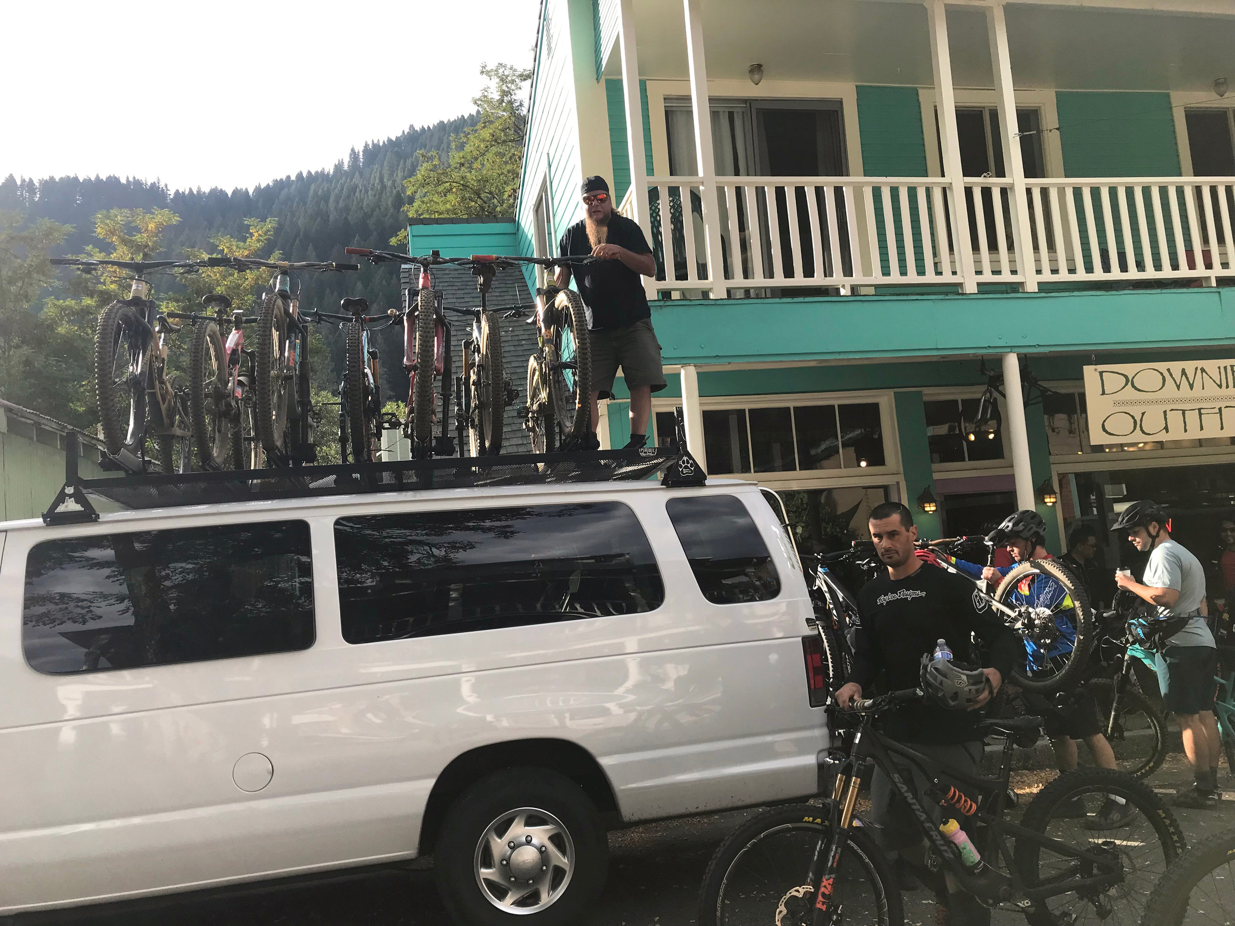
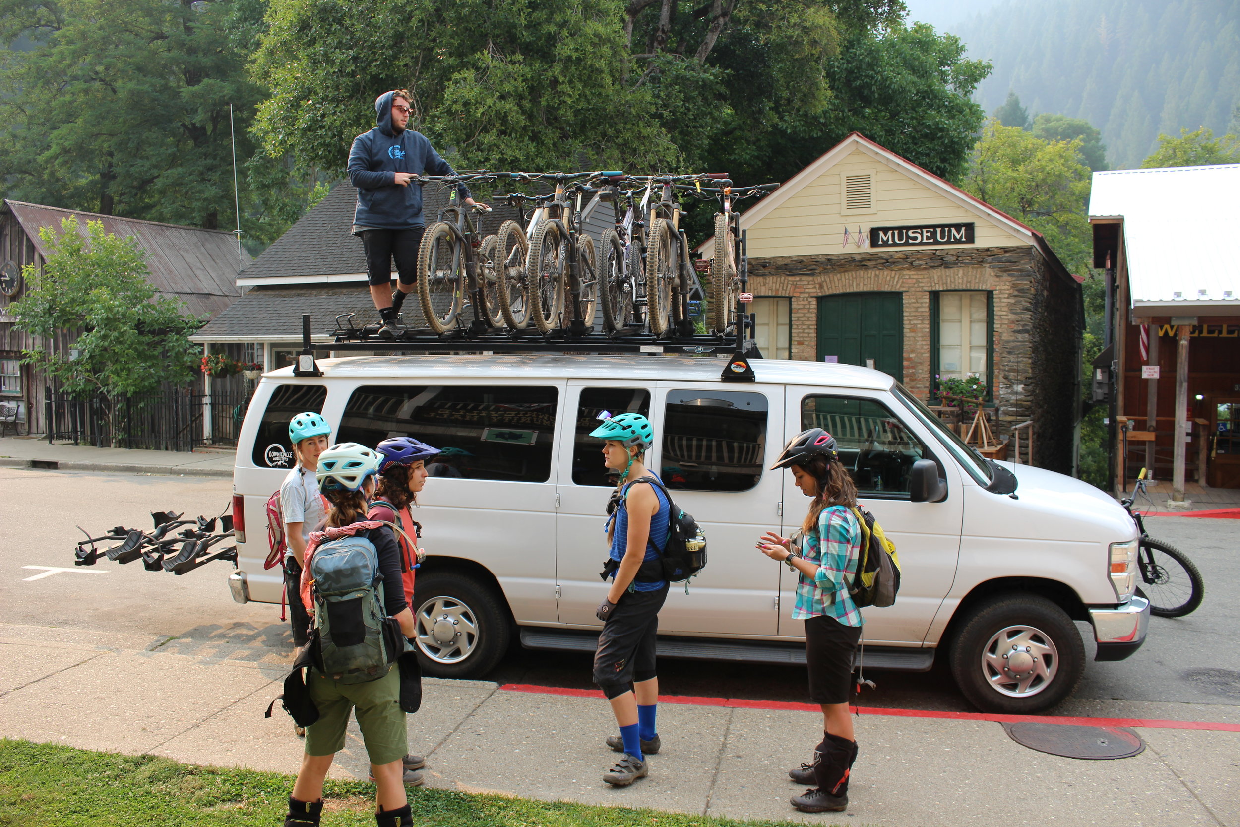
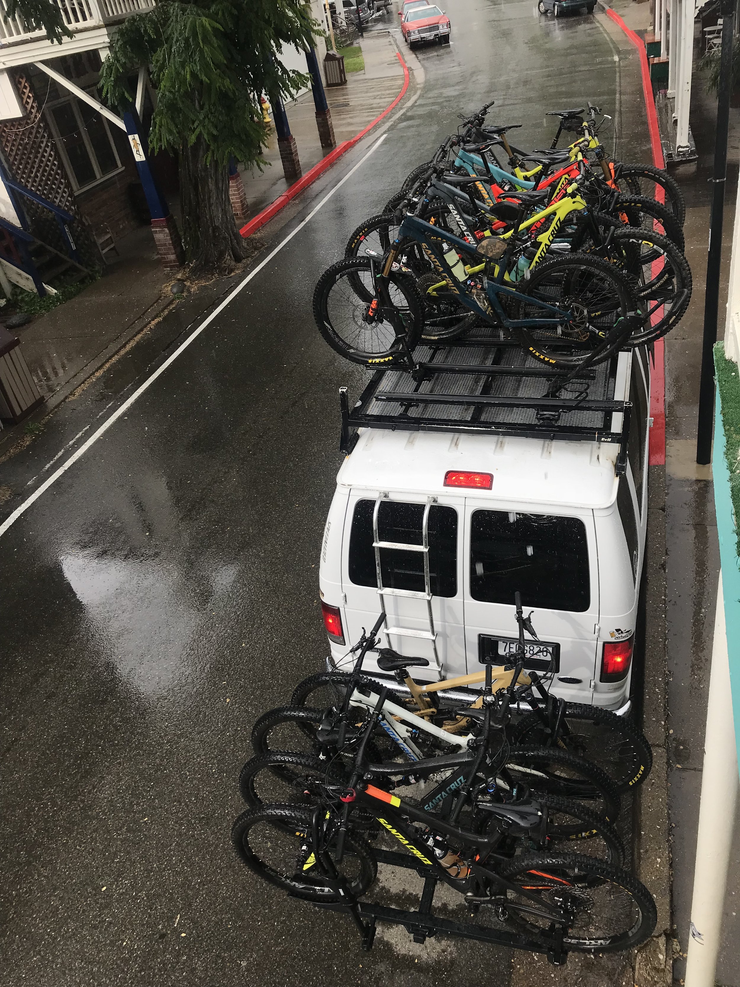
Downieville Downhill Ride (DVO Shuttle)
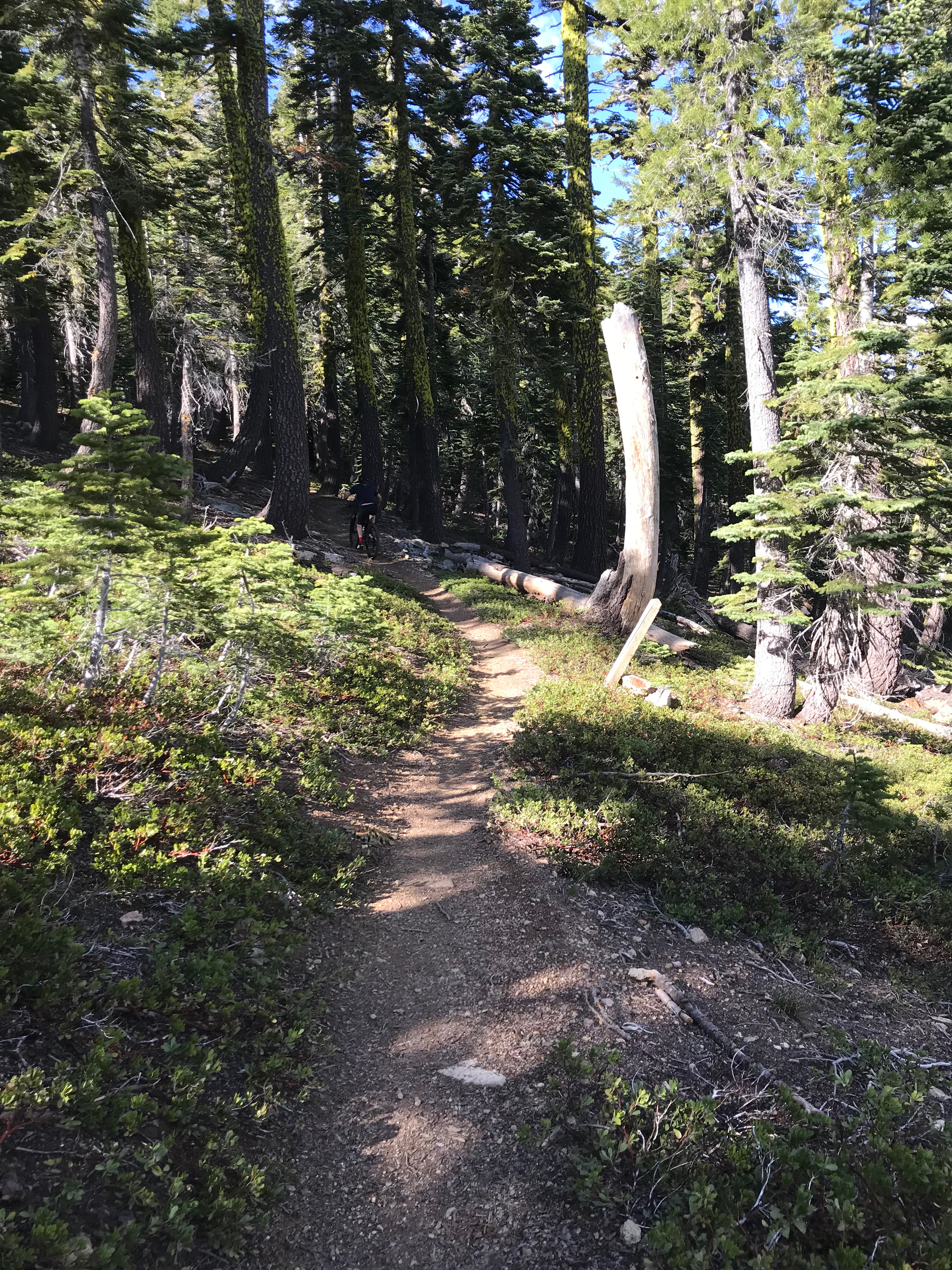
The Downieville Downhill begins with a 1.3 mile singletrack on the Sunrise Trail. Soon after you start there is a split. Left is a flow trail with bank turns. Right is more XC and slightly longer. Tough choice I know. At the end cross the fire road and continue on the Butcher extension trail for another 2 miles. Nice flow on this section. At the end is the first challenge. The Big Dip. It’s actually the remnants of an old log processing center back in the old timey times.
You are now at the top of the Bucher Ranch trail, a 150 year old mining trail with the most techinical sections on the ride. If you like rocks and fun this one’s for you! At the bottom you’ll cross the Pauley Creek bridge and ascend about a half mile to 3rd Divide. Think of the speeder scene through the Endor forest from Star Wars. Use the force and travel safely.
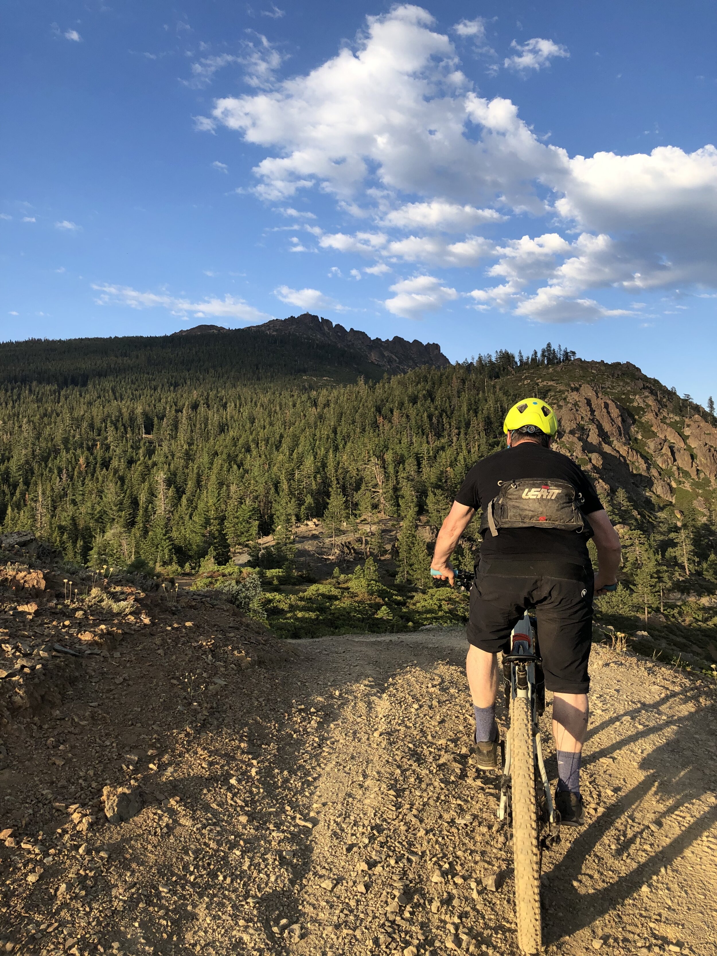
After crossing Lavezolla creek you make a quick climb and turn left on Lavezolla fire road. Ride down about a mile to the start point of the Divides. Upper 1st Divide follows an old mining trail with sections cut out of the rock face. If you have doubts just walk those sections. It’s way better than falling over the cliff, sliding down a scree pile, then plunging into the river, which is another 30 feet down. Next you follow an old flume waterway, ending up passing through a lovely, narrow chain link fence to the next fire road junction. If you’ve had enough go to the right on Lavezolla back to town. Lower 1st Divide is a mixed bag of everything else you just accomplished compressed into about 2 miles. You’re almost there so stay on target. At the end you will drop back down to the paved part of Lavezolla. Take a left and enjoy a leisurely ride through a neighborhood back to downtown. Please be respectful of the neighbors and obey the stop signs.
Overall the ride is intermediate to technical You can make it easier or harder depending on your level of comfort and skill set. The trail begins at el. 7100' and ends at el. 2800' over the course of 15 miles, so it is considered a pedalers downhill.
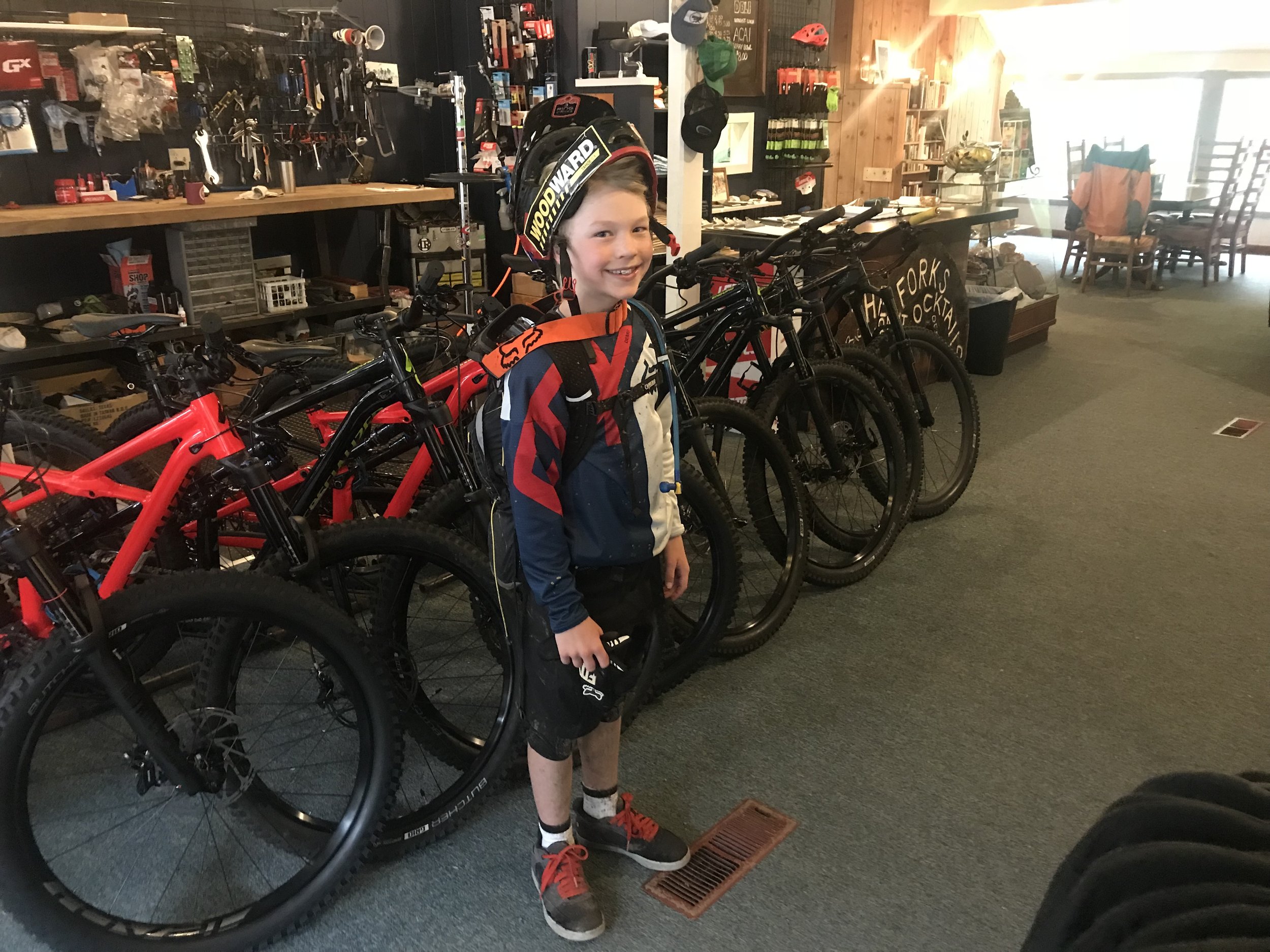
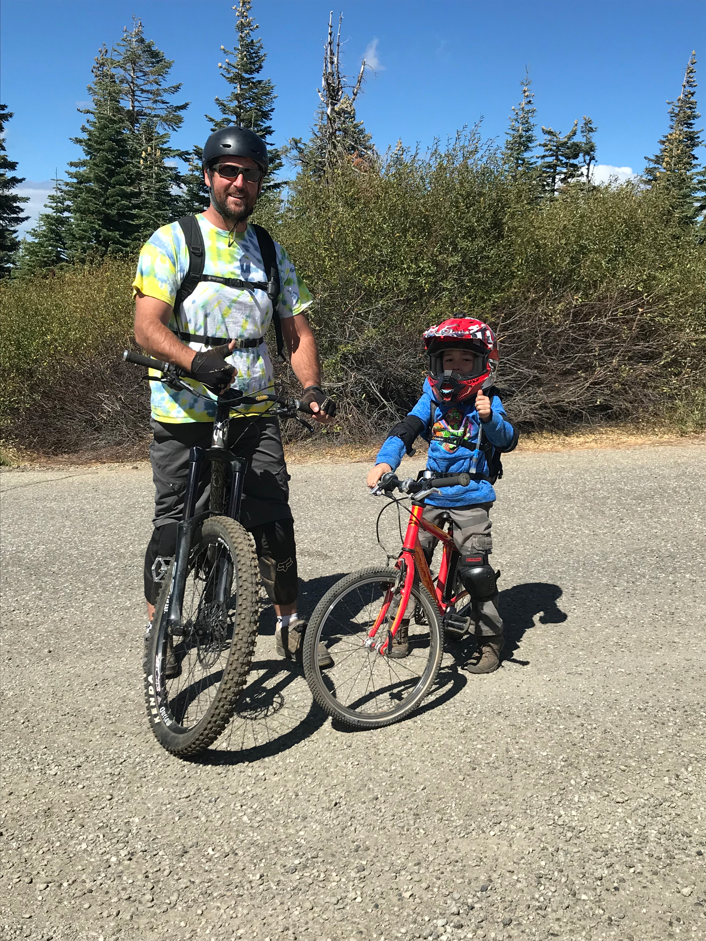
Hey, if an eight year old kid can do it, so can you!!
There are three loops at the top of the Downhill for Cross-Country riders: Pauley Creek, Big Boulder or Lavazzola Creek.The 2nd Divide Trail is the Cross-Country ride as an alternative to the Downhillers 3rd Divide. Many riders link up a loop at the top with the 2nd Divide trail for a 3-5 hour ride.
Trail options for the Downieville Downhill:
Butcher Ranch Creek
*”This is the trail that first made Downieville famous. Taken from Packers Saddle it starts in a meadow high in the Sierras east of town. It drops like a stone through creeks and canyons over brutally demanding terrain. The first mile and a half descends about 1200 feet. In all the trail dives an astounding 4500 feet in 14+ miles with all the drop offs, rock gardens, and fast forest tracks to gladden the heart of any technical mountain biker. If you’re in it for the thrills, you came to the right place!”
*Taken from Downieville Mountain Bike Adventure
Pauley Creek
*” Pauley Creek Trail is the second great downhill ride in the Downieville collection. It shares all the technical joys of Butcher and Big Boulder trails in a setting of great beauty. Its more visual than other area trails because it starts in open country. Traveling to this trail allows you to get a larger picture of this part of the Sierras from ridge tops to meadowlands. Another advantage of using this trail is that it is more private. You’ll see fewer riders on this run. Do you like the idea of momentum roller-coaster riding on fern covered mountainsides? Does the thought of steep, rocky, stair-step descents teetering above icy mountain creeks mean anything to you? If so, you’ll find all that and more on Pauley Creek.
*Taken from Downieville Mountain Bike Adventure
Big Boulder Trail
* “The International Mountain Bike Association rates Boulder Creek as an “Epic” American. O.K. There’s not a great deal you can add to that. If dropping a stomach churning 1700 feet in 2+ miles on a narrow, rocky trail seems like a good way to relax on your next vacation then yes, you really should consider this ride!” “Most of the Big Boulder Trail consists of rocky, unstable soil conditions. Much of it is extremely narrow, strewn with gnarly tree roots, off camber, and on a steep mountainside. Could it get much better than that?” Long climbs, beautiful vistas, and screamin’ downhill action make this a ride to remember.
**Taken from Downieville Mountain Bike Adventure
Additional Area trails and Shuttles:
Chimney Rock (DVO Shuttle)
el. 6400' - 6800'
Technical XC/DH singletrack
DID YOU KNOW? 1996 Bike Magazine rated this Empire Creek as the "best downhill in California!" Looking for another downhill in Downieville? Well, here it is and this is a technical one to test your skills! Shuttle takes you up Saddleback Road (8 mi.) up a steep road to Poker Flat and to the base of Bunker Hill where we drop you off. From the trailhead it has a 1 mile moderate climb to reach Chimney Rock, a huge volcanic rock 12 feet in diameter at the base, rising up for 25 feet. At this point you are on a vista with 360-degree views where the trail continues eastward, descenmding under a lightly forested canopy then starts to climb around Needle Point and Rattlesnake Peak until it reaches the end of Empire Creek Canyon where you descend to Downieville.
*”In 1996 Bike Magazine rated Chimney Rock/Empire Ck. As one of California’s best singletrack trails. It’s a long, gradual, climb into an indigo-blue sky. Pass rocky crags on narrow ridgelines, often with 360 degree views of a spectacular alpine landscape. This tour is about swooping forest trail descents and a host of technical challenges to push your adrenalin button. It will put a smile on your face. Lots to see, lots of singletrack, loads of fun.”
*Taken from Downieville Mountain Bike Adventure
Mt. Elwell to Graeagle (DVO Shuttle)
The Mt. Elwell Trail is one of Downieville’s best-kept secrets. It’s a cross-country tour With a variety of elements. It is part sight-seeing trip, part mountain climb, and part downhill thrill ride. In twenty three miles it traverses meadows, ridges, and climbs over 2000 feet. It summits Mt. Elwell, one of the tallest peaks in Sierra County. The 360-degree view from the peak is a breathtaking one. Occasionally from this spot you can see Mt. Lassen, over 100 miles distant. Finally, you descend 3300 feet over eight miles of an assortment of singletrack conditions from buttery smooth to bone-crunching moon rock. It’s a demanding ride that will leave you even more amazed at the variety and challenge of the Downieville area trails.
*Taken from Downieville Mountain Bike Adventure
Halls Ranch
epic ride (one way) el. 2600' - 4400'
Technical XC singletrack
5 miles west on Hwy 49 to Indian Rock Picnic Area (across from Ramshorn campground). The trail begins just off the access road to the ummer Home Tract. Go 100 ft. up this road and climb 2000' in 2 miles through numerous switchbacks to the ridgetop viewing North Yuba drainage to the South and Fiddle Creek to the North. Halls Ranch trail descends sharply down to Fiddle Creek in a northerly direction then sharply climbs out of Fiddle Creek to Halls Ranch. Some people prefer to ride it from the North to the South so they can do the last 2 miles to Hwy. 49 downhill. The northern trailhead for Halls Ranch Road is off of the paved Cal Ida road (aka Forest Service Road 25). Shuttled ride from Packer Saddle in the Plumas National Forest
Fiddle Creek Ridge Trail
Epic ride (one-way) el. 2600' - 4000'
Technical XC singletrack
Same beginning as Halls Ranch but make a turn at a fork to do Fiddle Creek. 5 miles west on Hwy 49 to Indian Rock Picnic Area (across from Ramshorn campground). The trail begins just off the access road to the Summer Home Tract. Go 100 ft. up this road and climb 2000' in 2 miles through numerous switchbacks to the ridgetop viewing North Yuba drainage to the South and Fiddle Creek drainage to the North. Immediately climb over another ridge to drop into Little Fiddle Creek before making the final ascent to Halls Ranch. This trail then connects with the Halls Ranch trail. Proceed West on ridgeline to continue on Fiddle Creek ridge trail approximately 6 miles until it descends down to Cal Ida road near Indian Valley Outpost. Beyond Fiddle Creek trail passes through the Indian Burn (result of 10,000 acre burn in 1987) to Hwy 49 Ramshorn.
North Yuba Trail
11.5 miles (one-way) el. 2800' - 3000'
Moderate XC singletrack above the North Yuba
This cross country leg burner starts at the West end of town. It is a true xc singletrack with a lot of canopy, combined with exposed areas high above the Yuba river, offering incredible views This. trail crosses many side drainages that flow into the North Yuba River. An excellent fitness ride. (Bring your bug spray)

